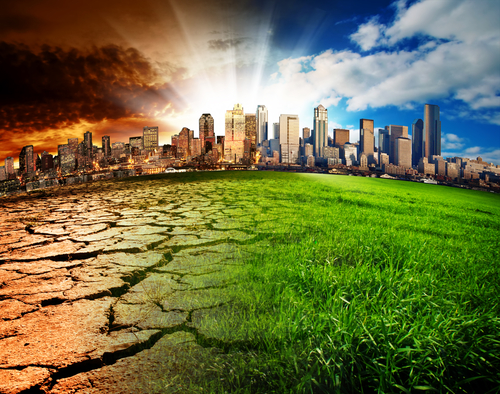
A person entering a career in emergency management, disaster preparedness or a related field of expertise may wonder, “Is FEMA doing anything about climate change?” FEMA refers to the Federal Emergency Management Agency, which is housed under the Department of Homeland Security. Although there are still some climate change deniers in the federal government, FEMA is taking some steps forward in order to address issues related to climate change.
Related resource: TOP 10 ONLINE EMERGENCY MANAGEMENT DEGREE PROGRAMS
Recognizing That the Climate Is Changing
It is important to note that FEMA recognizes the climate is changing. Although the FEMA website does not identify the cause of climate change, it does admit to the fact that there is climate change. As such, FEMA has identified its resources that can help citizens protect themselves and take action. FEMA also works with other federal government agencies in order to identify which resources they have that could be helpful in the future or after a disaster that is related to climate change.
Collecting Updated Data for Risk Assessments
As a second step, FEMA is collecting updated data for its risk assessments. The data collected by the agency includes weather data. It also includes data from flood events. When a hurricane or tropical storm approaches the United States or makes landfall, FEMA collects flood and wind damage data. After other types of floods, FEMA collects information about the scope and severity of the flood. For example, they collect information to see how large the flood zone is and how deep the floodwaters are in different places.
Creating New Maps Based on Risks
FEMA is creating new maps for different types of risk. The agency is doing this with their newly collected data. Those maps are available on the FEMA website. Many of them are interactive, allowing a user to examine potential problems such as stormwater levels based on the intensity of a tropical storm making landfall within a particular distance of a place. There are also maps for sea-level rise, drought, and floodplains. Along with those maps are tool kits and explanations of the hazard mitigation assistance offered for different types of public emergencies.
Providing Tools and Calculators for Citizens, Organizations and Local Governments
According to FEMA, citizens and local governments can use their online tools and calculators, such as the one for sea-level rise. A person who lives on beachfront property along the Atlantic Coast may want to find out if their property is likely to flood or be destroyed if a Category 3 or higher hurricane makes landfall within a specific range of their area. FEMA also offers calculators and tools for sea-level rise, weather pattern changes, and precipitation levels.
Like other parts of the federal government, FEMA moves slowly when it comes to changing policies and enacting agency-wide change. The current presidential administration has also rolled or scaled back a lot of the rules and regulations that were enacted during the eight years of the Obama administration, which has caused some frustration among the people who live in risk-prone areas that are likely to be highly impacted by climate change. Knowing the answer to, “Is FEMA doing anything about climate change?” could inspire a person to contact their legislators or to get to the polls and vote in the next election.